
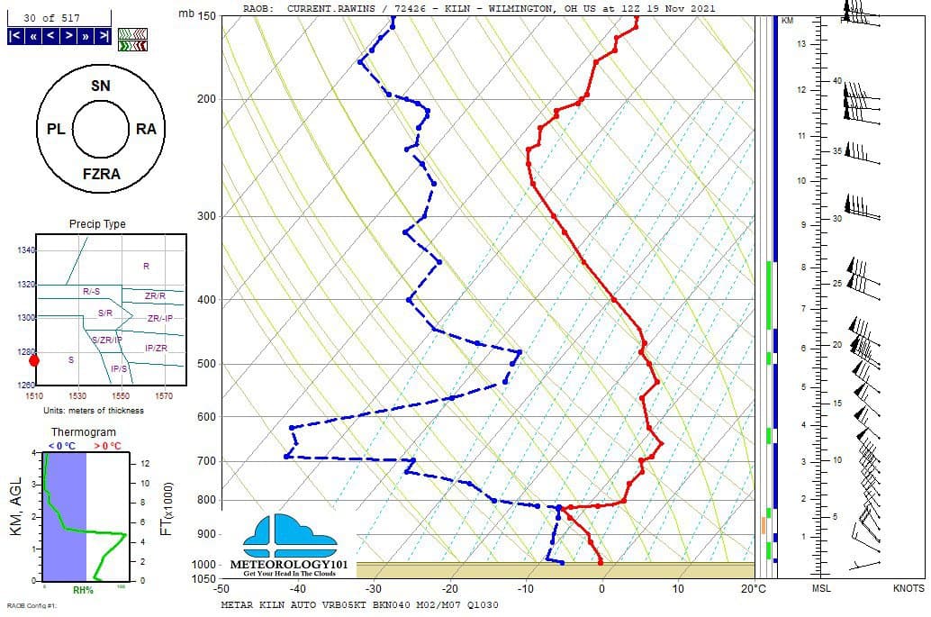
There are several weather products used to determine the possibility of severe weather for an area. The most common and misunderstood by many weather enthusiasts is the Skew-T chart and the upper-air constant height charts. Since forecast models, the interpretation of Skew-T data and upper-air charts seems to have become a lost art.
The following values are not set in stone due to the multiple variables of the atmosphere and weather parameters.
Lifted Index (LI)
Lifts the parcel from the boundary layer adiabatically up to the 500mb level. The temperature difference between the parcel and the environment equals the lifting index; if the LI is negative, the parcel is warmer than the environment and has a positive energy at only one level.
LI above zero (0) = Atmosphere is stable
LI between 0 and 3 = Weak stability
LI between -3 and -6 = Moderate Stability
LI less than -6 = Strong instability
Convective Available Potential Energy (CAPE)
Comprised of the temperature difference between the parcel and the environment integrated through the depth of the column. This is an expression of energy.
CAPE 0-500 = Weak instability. Fair weather; or isolated weak showers
CAPE 500-1000 = Low stability. Scattered showers
CAPE 1000-2500 = Moderate Instability. Thunderstorms likely
CAPE 2500-4000 = Strong instability. Widespread severe storms
CAPE >4000 = Extreme instability. Large hail
KI (K Index)
Developed by Eastern Airlines Forecasters, this index examines temperature and dewpoint at various levels between 850 and 500 mb.
KI = (T850 – T500) + Td850 -(T700 – Td700)
<20 = None
20-25 = Isolated Thunderstorms
26-30 = Widely Scattered Thunderstorms
31-35 = Scattered Thunderstorms
>35 = Numerous Thunderstorms
Vertical Totals (VT)
Indicates the lapse rate between 850 mb and 500 mb (approximately 5000 and 18000 feet) and is computed with mandatory level temperature data.
VT = T850 – T500
<28 = No Thunderstorms
29 – 32 = Few Thunderstorms
>32 = Scattered Thunderstorms
40 – 43 Approximate Dry Adiabatic Limit
Cross Totals (CT)
Compares the low-level moisture to the mid-level temperature, providing a rough expression of buoyancy.
CT = Td850 – T500
<18 = Thunderstorms Unlikely
18-29 = Thunderstorms
> 30 = Severe Thunderstorms
Totals Totals (TT)
Combines the Vertical Totals and Cross Totals indices as follows
TT = VT + CT = T850 + Td850 – 2T500
44-50 = General Thunderstorm
51-55 = Moderate Thunderstorms
55-59 = Strong Thunderstorms
60+ = Scattered Severe Thunderstorms and Tornadoes
Low-Level Moisture (Surface to 850 MB)
Less than 10 g/kg mixing ratio = Likely not enough for severe storms
10 – 15 g/kg mixing ratio = Optimal for severe storms
Greater than 15 g/kg = mixing ratio = Flooding threat with some severe weather
Mid-Level Dry Layer (700 to 500 MB)
Dew point depression 20 degrees or greater = Optimal for severe storms
Dew point depression 10 – 20 degrees = Sufficient for severe storms
Dew point depression less than 10 degrees = flooding threat with isolated severe weather
Low-Level Jet (850 MB)
Wind speed above 40 knots = Strong low-level jet
Wind speed 25 – 40 knots = Moderate low-level jet
Wind speed below 25 knots = weak low-level jet
Mid-Level Winds (700 to 500 MB)
Wind speed above 50 knots = Strong mid-level winds
Wind speed 30 – 50 knots = Moderate mid-level winds
Wind speed below 30 knots = Weak mid-level winds
Upper-Level Winds (300 to 200 MB)
Wind speed above 100 knots = Strong upper-level winds
Wind speed 50 – 100 knots = Moderate upper-level winds
Wind speed below 50 knots = Weak upper-level winds
Veering Low-Level Winds (Surface to 700 MB)
Wind direction turns clockwise more than 90 degrees = Strong veering
Wind direction veers 30 – 90 degrees = Moderate veering
Wind direction veers less than 30 degrees = Weak veering
Recent Posts
Tornado Basics, Severe Weather Preparation, & The Enhanced Fujita scale
Earth's weather can produce various kinds of windstorms which include waterspouts, dust devils and tornadoes. Although they have the common features of a column of rotating air, they are actually...
Can you ace the synoptic weather quiz. Test your knowledge on cloud types, weather station plots, atmospheric forces, and more. [quiz-cat id="2816"]