
Weather doesn’t just happen horizontally across the Earth — it also develops vertically through the atmosphere. Vertical motion plays a crucial role in cloud formation, storm development, precipitation, and overall weather stability. By understanding how air rises and sinks, meteorologists can better predict everything from calm skies to powerful storm systems.
Let’s break down how vertical motion works and why it is one of the most important factors in weather forecasting.
What Is Vertical Motion?
Vertical motion refers to the rising or sinking movement of air in the atmosphere. These movements are essential for weather development because rising air often leads to cloud formation and precipitation, while sinking air usually promotes fair and stable conditions.
Meteorologists analyze vertical motion on a large scale, known as the synoptic scale, to understand developing weather systems and forecast future atmospheric changes.
Two major atmospheric processes influence vertical motion:
- Vorticity Advection
- Temperature Advection
Both work independently and together to shape weather patterns.
Vorticity Advection and Vertical Motion
Vorticity refers to the rotation or spin of air in the atmosphere. When this rotating air is transported by wind, it is called vorticity advection.
Positive Vorticity Advection (PVA)
Positive vorticity advection typically indicates rising air. When this occurs:
- Divergence occurs above the level of non-divergence
- Convergence occurs below that level
- Surface pressure falls
- Weather conditions become unstable
- Storm development or cyclogenesis becomes more likely
This process is often associated with worsening weather and increasing cloud formation.

Negative Vorticity Advection (NVA)
Negative vorticity advection usually signals sinking air. This produces:
- Convergence above the level of non-divergence
- Divergence below that level
- Rising surface pressure
- Stabilizing atmospheric conditions
- Development of high-pressure systems (anticyclogenesis)
This pattern typically leads to calmer, clearer weather.

Neutral Vorticity Advection
Sometimes vorticity patterns show little or no transport of rotational energy. When this occurs:
- Little vertical motion develops
- Minimal convergence or divergence is present
- Weather systems tend to remain steady in strength

Understanding Vorticity Lobes
Vorticity lobes are elongated areas of enhanced rotational energy that help meteorologists locate key atmospheric features.
Advection Lobes
- Positioned perpendicular to wind flow
- Often indicate shortwave troughs or ridges
- Suggest areas that need further upper-air analysis
Shear Lobes
- Aligned parallel to wind flow
- Usually caused by changes in wind speed
- Helpful for locating jet stream maxima
Temperature Advection and Atmospheric Movement
Temperature advection occurs when air masses transport warmer or colder air into a region. This process strongly influences vertical air movement.
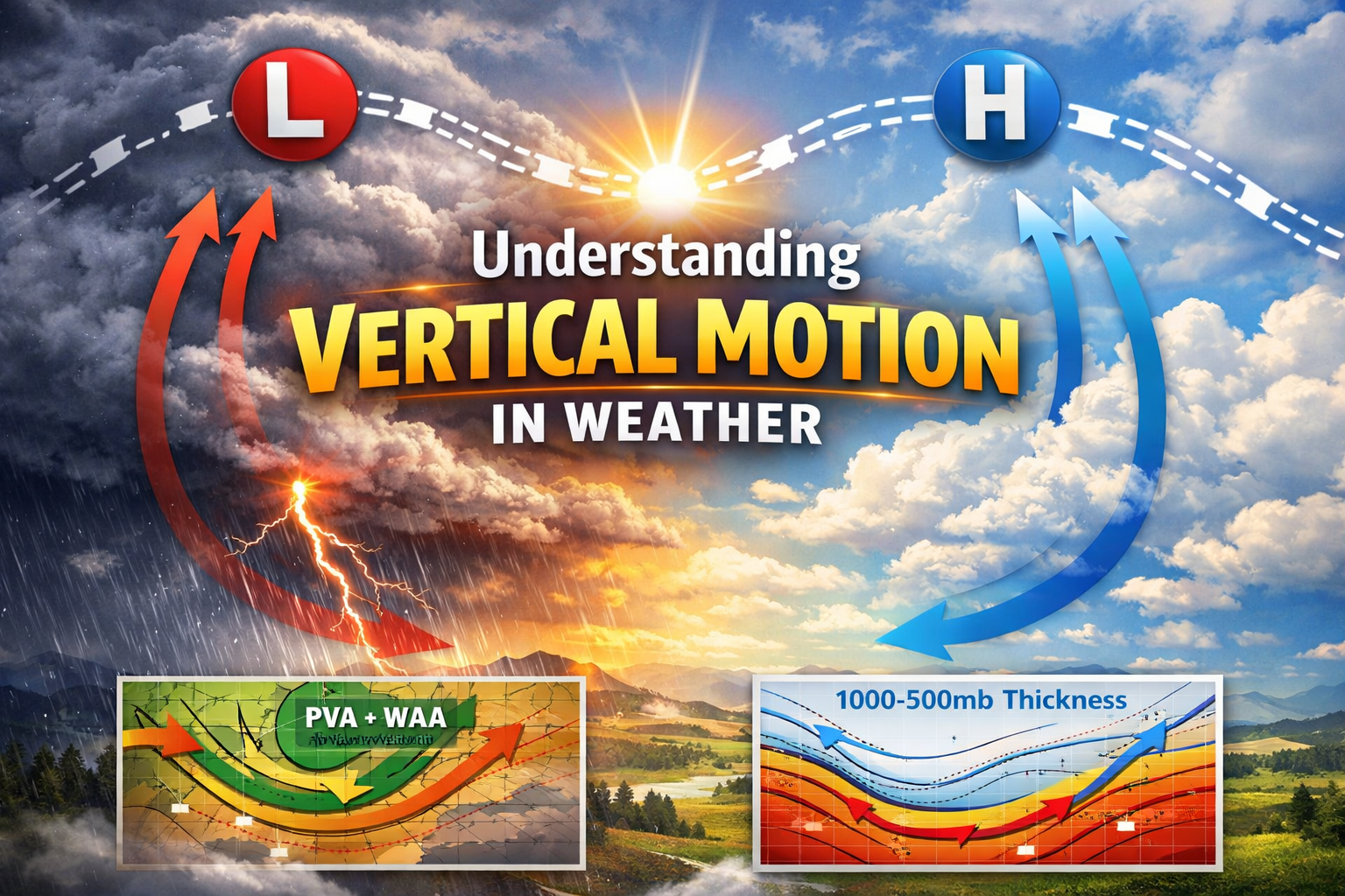
Meteorologists often analyze temperature advection using the 1000–500 mb thickness chart, which estimates average temperature within a layer of the atmosphere.
Cold Air Advection (CAA)
Cold air advection promotes sinking air and stable weather patterns.
Key effects include:
- Downward vertical motion
- Rising surface pressure
- Falling atmospheric heights above the gradient level
- Increased atmospheric stability

Warm Air Advection (WAA)
Warm air advection promotes rising air and increasing atmospheric instability.
Key effects include:
- Upward vertical motion
- Falling surface pressure
- Rising atmospheric heights above the gradient level
- Increased cloud formation and precipitation potential

When Vorticity and Temperature Advection Combine
The interaction between vorticity and temperature advection determines the strength and direction of vertical motion.
Reinforcing Combinations
These combinations strengthen vertical motion and often lead to significant weather changes:
- PVA + WAA: Strong upward motion and enhanced storm development
- NVA + CAA: Strong downward motion and increasing atmospheric stability
Conflicting Combinations
These combinations tend to cancel each other out, making vertical motion difficult to predict:
- PVA + CAA
- NVA + WAA
Why Vertical Motion Matters in Forecasting
Vertical motion is one of the driving forces behind weather systems. It helps meteorologists predict:
- Storm formation
- Cloud development
- Precipitation intensity
- Pressure system changes
- Overall weather stability
Understanding these atmospheric processes allows forecasters to anticipate severe weather events and improve forecast accuracy.
Final Thoughts
Vertical motion may not be visible to the naked eye, but it plays a powerful role in shaping everyday weather. By analyzing vorticity and temperature advection, meteorologists gain critical insight into the atmospheric dynamics that produce everything from sunny skies to intense storms.
The next time you hear about rising or falling pressure systems, remember — the true engine behind those changes is often the invisible movement of air above us.
Stay Weather Ready
Want to deepen your understanding of meteorology and forecasting techniques? Follow our weather education series for expert explanations, forecasting tips, and real-world storm analysis.